


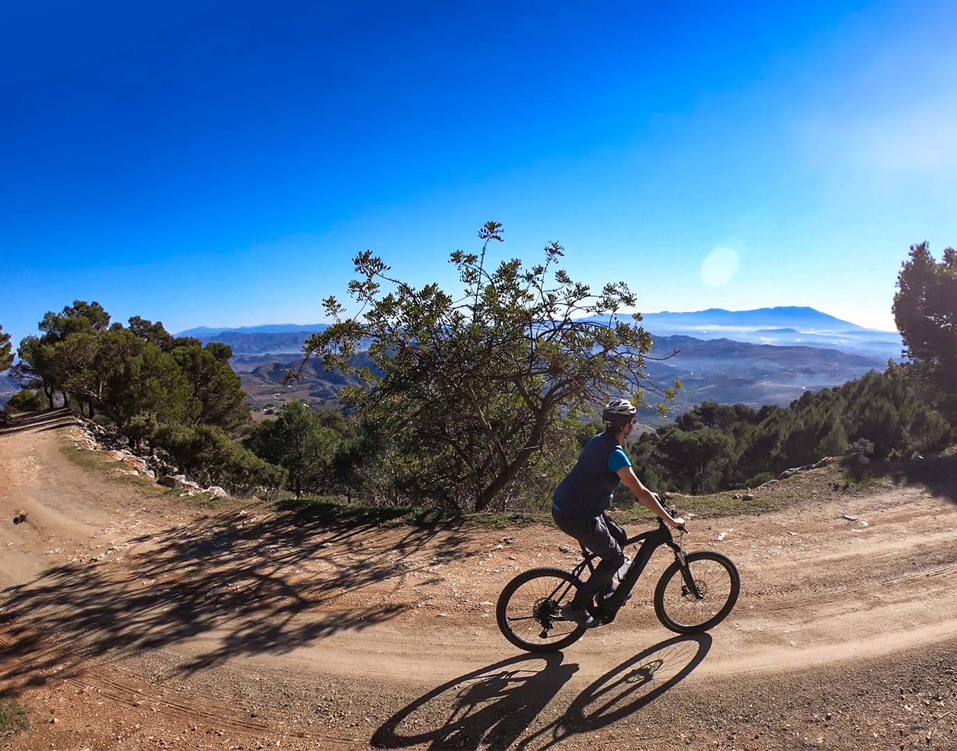
Route Serrana
SIERRA DE LAS NIEVES
Start: Alozaina
End: Alozaina
Type: Circular
Length: 32,4 Km
Positive slope: 908 m
Technical difficulty: 3/5
Towns that can be visited: Alozaina, Yunquera, Tolox.
Possibility of connection with the Route Campera in Alozaina

Descripción
Ruta
La ruta comienza en Alozaina y nos llevará a Yunquera por la carretera comarcal. Después de cruzar Yunquera empezaremos a bajar por el valle que nos llevará hasta Tolox por un camino de tierra, realmente una parte muy bonita completamente en el medio de la sierra. Esta parte presenta algunos tramos más técnicos, especialmente unos 300 m cuesta arriba con fondo irregular (allí lo más fácil será bajar de la bici). Desde Tolox la vuelta a Alozaina será por caminos secundarios con fondo hormigonado.
